TourSolver is primarily for users who need:
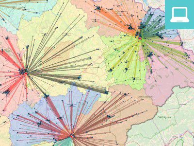
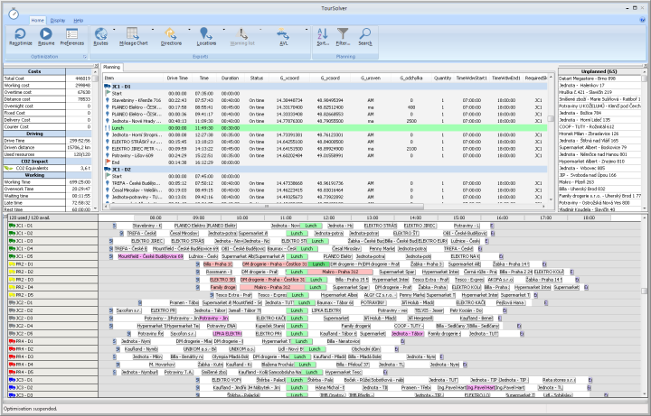
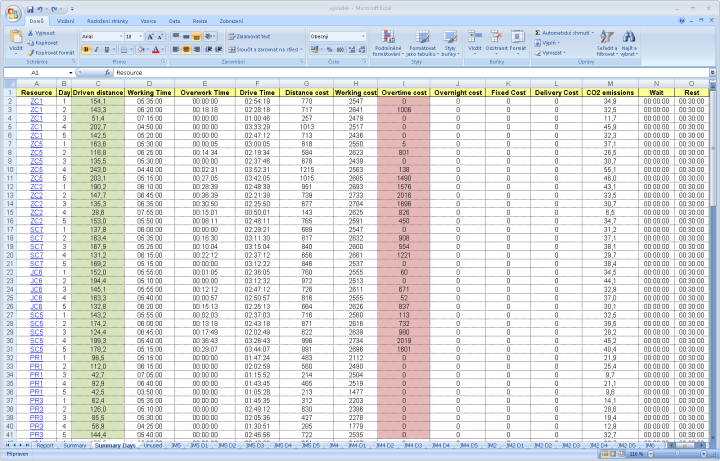
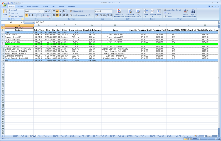
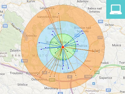
The proposed routes can be clearly displayed on map within the MapInfo Pro geographic information system. Total scheduling statistics and itinerary for each salesman can be exported to common formats, such as MS Excel, Word, or a text file.
Together with MapInfo Pro®, TourSolver is an excellent tool for sales planning specialists, business executives or regional managers.
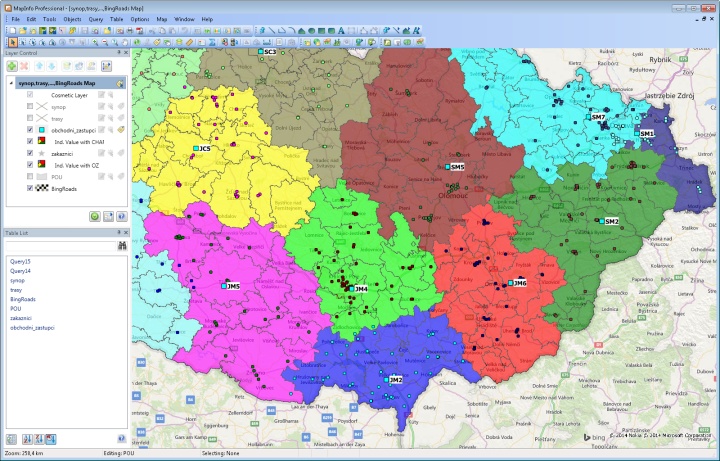
Optimization of sales representatives usually consists of several sub-tasks. These include modelling of sales agents' regions, designing their optimal number, tracking performance and optimizing routes. Using TourSolver leads to cost savings, easier work for sales representatives, and better customer service.
TourSolver is often used in strategic planning, in addition to regular route planning. For example in situations of more extensive sales deployment, expansion of the company leading to an increase in the number of agents, or changes in basic parameters such as number of visits or their lengths.
The most frequently used optimization parameters include:
The optimization parameters can be set for the TourSolver application so that the computational algorithm performs the route reconstruction exactly as the routes were actually implemented. This means that the visit will be carried out by the same sales agent and in the same order as in reality. The result can then be compared to real-world routes or optimized routes.
TourSolver license includes a navigational map of the Czech and Slovak Republics from Navteq (HERE). Users can perform both country-level optimization and cross-border optimization automatically and without having to buy another license to the second country's navigation map.
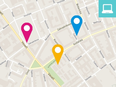
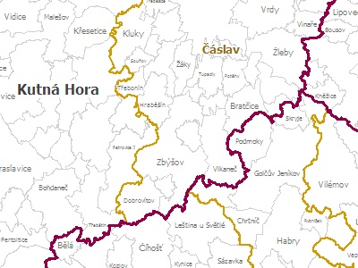
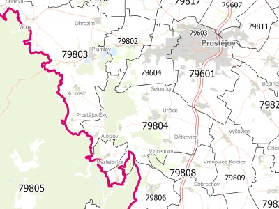
In addition to the road and street network, map layers include other layers, such as water, forests and greenery, railways and others that are already arranged in the so-called workspace, and the user no longer has to set anything. Everything is ready for immediate work in MapInfo Pro.
Road network contains information about real historical speeds obtained from GPS devices. TourSolver user can choose whether to use these historic speeds or their own speed settings for each class of road in the application settings.
For route optimization, it is essential that both the customer database and the sales representatives' databases contain geographical coordinates. Position accuracy is then important for the resulting quality of planning.
If a user has coordinates stored in their databases, MapInfo Pro will be able to use them to create point objects on the map. TourSolver will be able to perform optimization afterwards. If the XY geographical coordinates are not available to the user, it is necessary to complete them before the optimization process itself.
For the geocoding of Czech and Slovak addresses, we have developed a unique tool - GeoMarker Pro, that enables both automatic and manual geocoding. Our company provides geocoding as a service too.
MapInfo Pro version 7.5 and higher
CPU: powerful processor 3,0 Ghz
RAM: at least 4GB of RAM
To export results, install MS Office XP and higher.
Data sheet about the optimization solution TourSolver.
PDF 2,7 MB
(czech)
Data sheet about the optimization solution TourSolver.
PDF 2,7 MB
(czech)
Region modelling and salesmen optimization.
PDF 786 kB
(czech)
Region modelling and salesmen optimization.
PDF 786 kB
(czech)
Case study from company Danone in Czech Republic.
PDF 279 kB
(czech)
Case study from company Danone in Czech Republic.
PDF 279 kB
(czech)
Case study from CPM, field marketing operations company.
PDF 1,2 MB
(english)
Case study from CPM, field marketing operations company.
PDF 1,2 MB
(english)