We can offer a wide range of digital maps and data products to our customers. The following list shows the basic product groups that are available. We also create custom maps according to specific customer requirements. Thanks to our experience and partner network we are able to provide the data for all neighbouring countries and for most countries in the world.
-
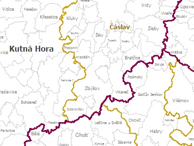
Administrative data
Administrative data of the country suitable for all kind of geographical visualization and data analysis. Usable for creation of custom areas.
-
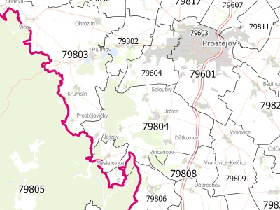
Postcode map
Map of postcode areas and points suitable for all kind of geographical visualization and data analysis linked to the postal code and addresses.
-
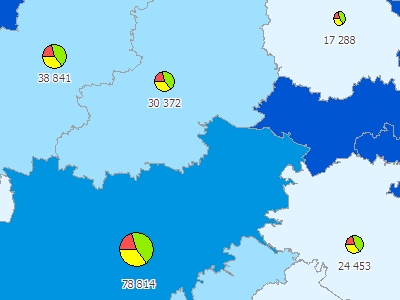
Sociodemographic data
An extensive summary of the statistical data about population, houses and flats from Census in administrative units of the country.
-
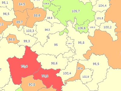
Purchase power
Information about purchasing power and expenditure potential of the population useful for marketing and business development activities.
-
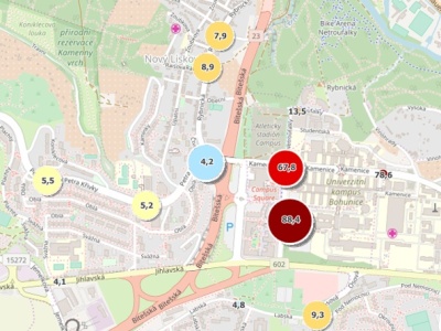
Public transport stops/hubs
Map layer of public transport and suburban transport stops / hubs complemented by a variety of interesting descriptive attributes such as number of links, connections etc.
-
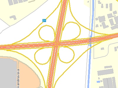
Road networks
Vector layers containing road and street networks usable for the geographic analysis, planning and optimization purposes incl. catchment areas.
-
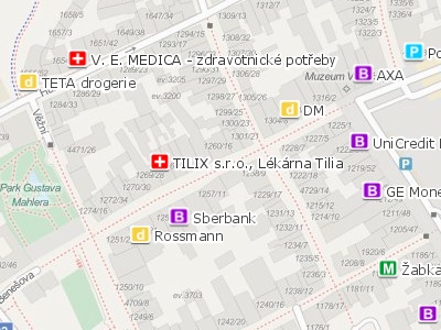
Points of interest (POI)
Map layers of points of interest (POI) useful for geographic visualization and analysis of different sectors (retail, finance, health care etc.).
-
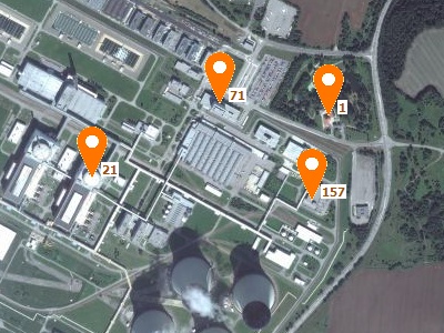
Address points
Point layers of buildings with their official addresses intended for the implementation of strategic marketing and business analysis.
-
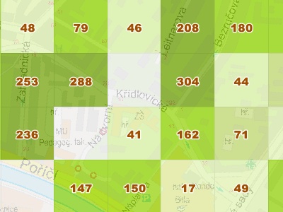
CR map 100x100m with population
Unique polygon layer of squares 100 x 100 meters covering the whole territory of the Czech Republic. Squares contain information about population.
-
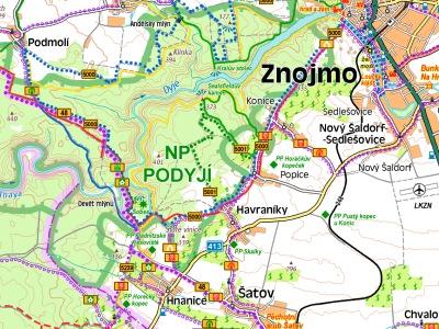
Raster maps
The underlying raster maps and access to tile servers without database attributes are used mainly as a background layers for visualization.
-
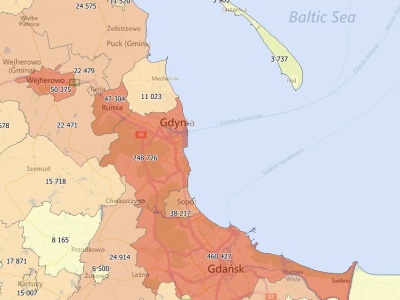
Europe and world maps
Raster and vector maps of Europe and other countries in the world widely usable within geographic information systems such as MapInfo Pro.