100x100 meters with population

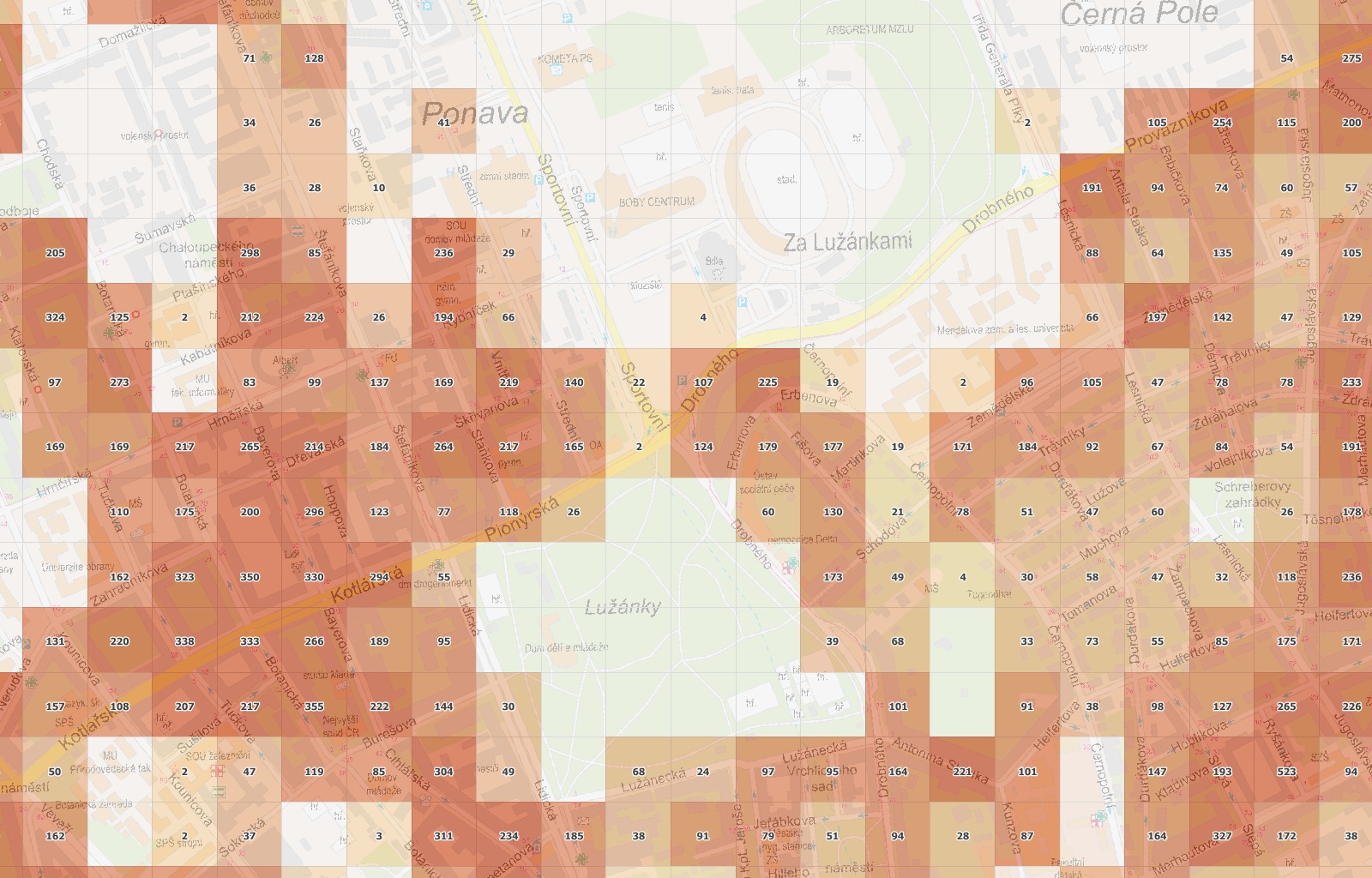
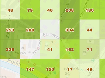
Vector square network 100x100m with population

Unique map layer where the population of the Czech Republic is calculated and filled into squares of 100 x 100 meters. The vector map covers the entire Czech Republic. Population-based analyses can be performed on a very detailed scale now. Users can also use this layer to calculate their own indexes (e.g. penetration, meaning index, etc.).

Mapa ČR 100x100 metrů s populací
Usage
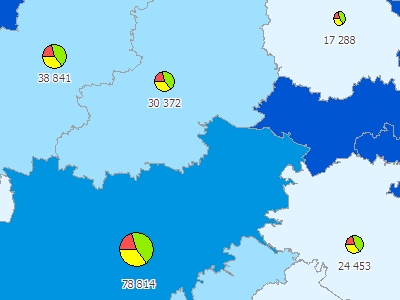
The map of the Czech Republic with a population in 100 x 100m squares can be used, for example, for:
  • Population-based analyses requiring more detail than the smallest administrative units (basic settlement units with census areas).
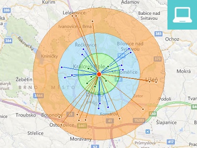
  • Volume analyses of potential customers for existing with emerging branches.
  • Analyses of population coverage by advertising announcement, mobile signal strength and many more.

Sample

The data set contains vector layer of squares 100x100 meters for use in GIS solutions such as MapInfo Pro. Each square is filled with population number. You can also attach your own data to objects and use them for various geographic analysis.


Mapa ČR 100x100 metrů

Using a detailed square network, you can discover uninhabited locations within municipalities and focus on places where people actually live.


Mapa ČR 100x100 metrů

The square net covers the whole territory of the Czech Republic. At the same time, it does not go unnecessarily abroad to increase the size of the map layer.

Specification

Czech Republic

Attributes

The layer contains population data (permanent population and commonly resident populations) calculated on the basis of data available from the Census 2011. Each square contains its ID and superior administrative units in which individual squares are included, information on the number of new dwellings since year 2012 and the coordinates of the upper left corner of each square.

The map set contains approximately 7,900,000 squares covering the entire territory of the Czech Republic, but it can be significantly simplified by removing squares that do not contain any inhabitants with buildings.

Formats

MapInfo TAB, ESRI SHP. We can convert the data into other vector formats per request.

Coordinate systems

UTM